Geospatial / IT Services
HINKS 2 LLC converts data into actionable intelligence with integrated geospatial and IT solutions. We combine geospatial analysis, remote sensing, cartography, IT architecture, cloud deployment, and secure data management to reveal spatial patterns, optimize operations, and support evidence-based decisions. Services include GIS implementation, spatial data engineering, custom geospatial apps, and analytics pipelines.
Key capabilities:
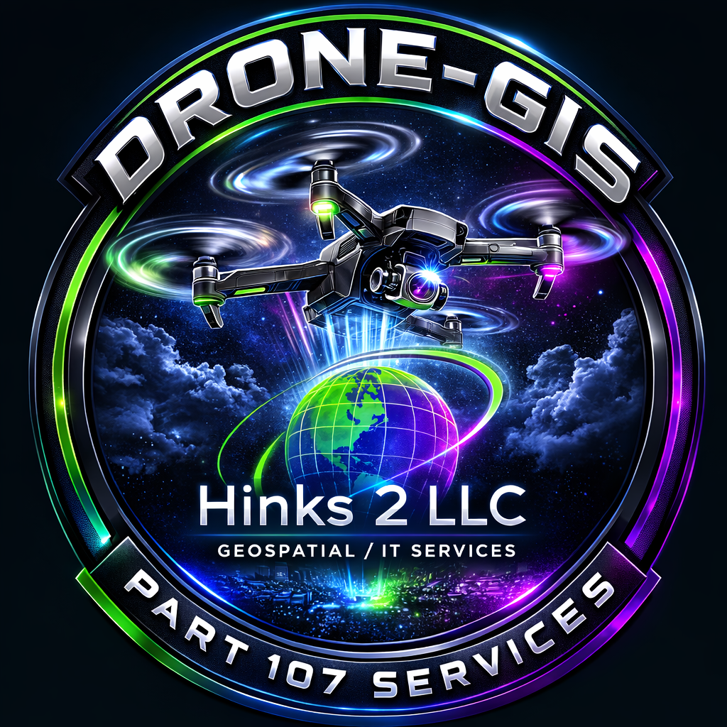
High-resolution data acquisition & processing (satellite, lidar, UAV)
Spatial modeling, predictive analytics, risk assessment
GIS design, migration, enterprise integration
Cloud-native deployment, API development, database optimization
Cybersecurity, compliance, managed services
Custom dashboards and story maps
We serve government, utilities, transportation, environmental, and commercial clients with tailored workflows and rigorous QA. Partner with HINKS 2 LLC to turn complex spatial and IT challenges into strategic advantage.

Technology Essentials

Showcase what this product is about. What’s it made of? How was it made? What are ways to enjoy it?

Showcase what this product is about. What’s it made of? How was it made? What are ways to enjoy it?
Refinement in Every Map
*
Refinement in Every Map *
Follow Our Journey

Join the Newsletter